Topographic Surveys in Jacksonville
Topographic surveys make up one of multiple elements found in an ALTA survey. They are used to demonstrate elevations and natural landforms that are not usually found on traditional maps. A GPS is one of the many tools by the land surveyor in order to accomplish this.
Affectionately referred to as “topo surveys,” they are often used for construction, property improvements, environmental restoration projects and more. They have very many real-world applications. Because topography literally means the arrangement of the natural and artificial features of an area, topography is an essential part of almost any land surveying effort. Basic boundary surveys will not reveal topographic data as their purpose is to outline the literal boundaries or limits of a property. However, many other types of land surveying will incorporate topographic data.
Construction contractors, engineers, and architects use this type of map to design and plan improvements to the land. Safety is the most common reason for a updated topographic survey to be completed. Inaccurate or old underground records may jeopardize construction projects.
The topographic survey consists of different aspects. One of these aspects is contour lines. Contour lines are lines that show the valleys and peaks of the area being surveyed. They will show an increase or decrease in a certain amount of feet per contour. These are a quintessential feature of the topographic map. You would likely recognize these lines if you saw them. They can appear somewhat like a pyramid when viewed from above.
Another common feature of topographic maps or surveys is vegetation. They can show up on a topographic survey in different ways depending on the surveyor or the surveying firm but there will often be a legend to help indicate what it is. It will usually be very obvious.
Utilities are also a common feature of a topographic survey. Utility lines, street lights, wells, electrical boxes, sprinkler systems etc. are included in this. This too should be obvious based on the legend of the map.
All together, some feature found on a topographic survey may include:
· Streams and rivers
· Buildings
· Streets walkways
· Utility poles
· Manholes
· Fences and walls
· Trees
· Slopes, hills, valleys and other changes in elevation
The result is usually a two-dimensional map of the property that depicts the elevation and position of natural and man-made of a piece of property.
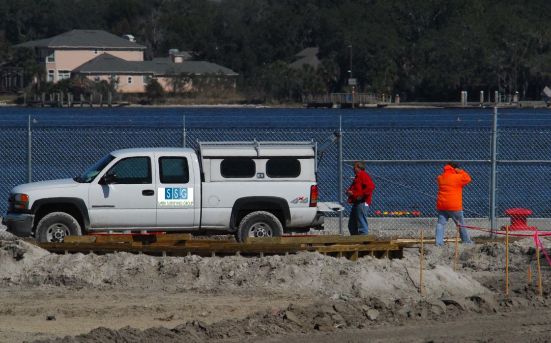
If you need a topographic survey in Jacksonville, Jacksonville Beach, Atlantic Beach, Neptune Beach, Ponte Vedra, Beach, Vilano Beach, Nocatee, St. Johns, Fruit Cove, Green Cove Springs, Orange Park, Amelia Island or Fernandina Beach give Smith Surveying Group a call today!
We’d be happy to help you with your topographical survey. We keep topographical survey cost reasonable. While there may be other topographical survey companies in the area, we’re confident that you won’t find a better surveying firm than Smith Surveying Group. Call today!
Free Estimate